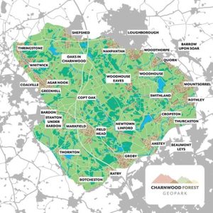
Charnwood Forest Geopark
Charnwood Forest Geopark covers an area of approximately 67 square miles (170 km² or 43 thousand acres) in Leicestershire and is part of the National Forest.
 The area has unique geological features including fossils which date back 600 million years and include the oldest recorded animal fossils.
It also has more than 40 different types of rock types.
These rocks have resulted in rich wildlife habitats and a distinctive landscape.
The historical landscape has a deep cultural heritage.
In December 2025 Charnwood Geo Park applied, with the backing of Sir David Attenbough, to become an UNESCO Global Geo Park site.
For more information about the Charnwood Forest Geo Park click here
For more information about The National Forest click here